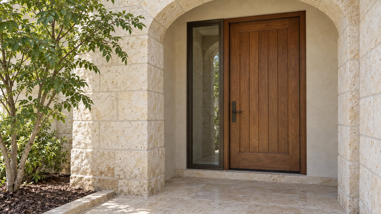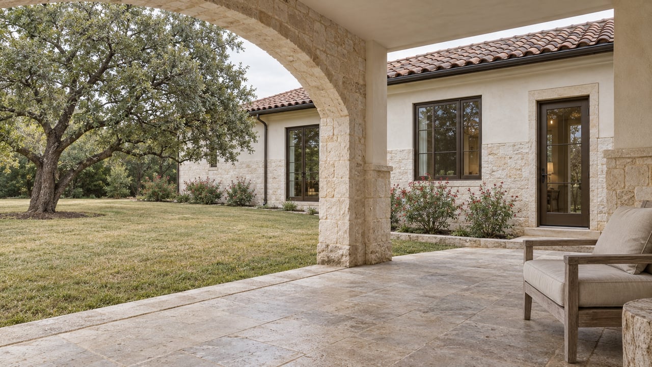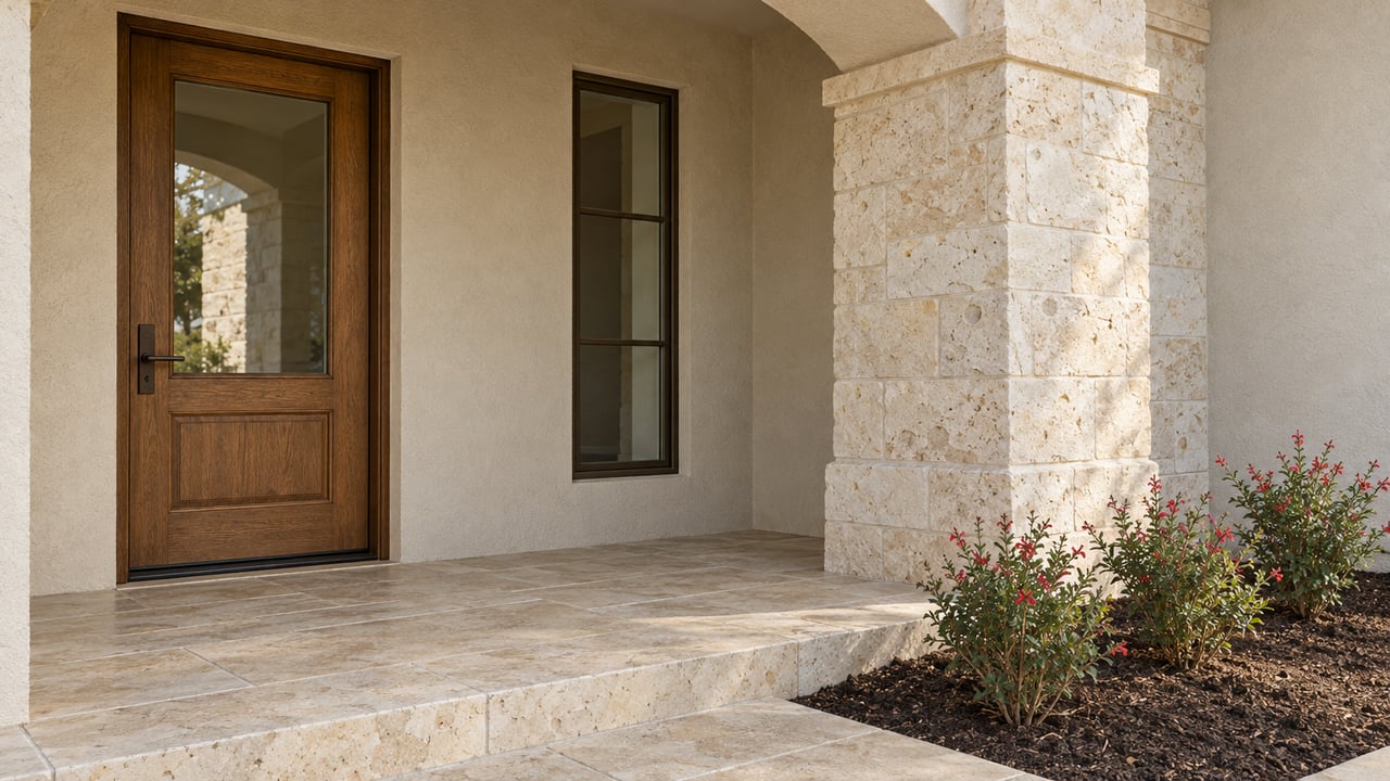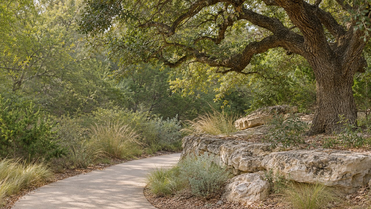
What do the signs along Loop 1604 have to do with a walk down to Salado Creek? As of this month, quite a lot. The city scheduled construction to begin on November 6 at the bend in Cliffside Road, where a new concrete trail will replace the rough path to the Salado Creek Greenway. The city is paying for it with lease revenue from signs along Loop 1604.
Right now, the way down from Cliffside is a rough-hewn path. The city is building the new trail in its place. It is short, gated and designed with input from residents. The schedule calls for it to be finished in the second week of December.
Highway Signs, Neighborhood Path
The City Council approved the project in the FY2027 budget. The money comes from Loop 1604 sign lease revenue that the city collects in its Community Enhancement and Engagement Fund. Council set aside $170,000 for Cliffside Trail improvements. That figure covers more than the concrete. According to the October 26 City Council packet, it also includes fencing along Cliffside Road, a controlled access gate, electrical service to the gate, and landscaping.
The trail itself is the smaller part of that budget. On October 26, Council awarded the construction contract to Abelar, Inc. for $85,000. Thirteen firms bid. Abelar was fourth on price but scored highest overall, and the city pointed to the company's work on more than 12 miles of the Salado Creek Greenway. So the company building Shavano Park's 400-foot connection also built much of the trail it leads to.
Neighbors Drew the Plans
The design came out of a long public process. On October 27 of last year, Council asked the Planning & Zoning Commission for a "comprehensive review" of the Cliffside entry point. Council gave P&Z $25,000 for engineering and schematics. A P&Z subcommittee of commissioners from the Estates, Cliffside Road, Bent Oak and Shavano Creek took on the work.
In December, P&Z chose eight residents from 19 applicants to serve on a Citizens Advisory Panel. Members came from Cliffside, Painted Post, Wagon Trail, Happy Trail, Binham Heights and Bikeway. The panel met with P&Z on January 20 and March 4 and walked the route on February 25.
The March 18 town hall drew 62 attendees and 42 online survey responses. People there weighed three options:
| Option | Width | Surface |
|---|---|---|
| A | 10 feet | Concrete, the same width as the Greenway |
| B | 6 feet | Concrete, about as wide as a typical sidewalk |
| C | 6 feet | Loose gravel nature trail |
Option B had the strongest support at 54.76%. The city's project page says B matched residents' preference for a concrete, 6-foot trail. It cost less than Option A and needs less upkeep than gravel. P&Z unanimously recommended it on April 1 and presented it to Council on April 27.
Twenty Feet Down, Built for Grip
Everything about the design deals with one fact. Between the top of Cliffside and the Greenway, the ground drops 20 feet, from an elevation of 914 to 894. The route the panel helped shape covers that drop over 400 feet. The average grade is 5 to 6%, with one short stretch near Cliffside at 11 to 12%. Engineering found that this route meets ADA accessibility without switchbacks or extra safety rails. It also avoids drainage conflicts and stays 30 feet from nearby homes.
The concrete is tinted light brown to blend with the forest floor. It gets a brush and rock salt finish for better traction in wet weather. The city's schedule started with erosion control and tree protection on November 6, followed by excavation and rock milling the week of November 9. The full build is planned to take five weeks.
Until it's done, the city recommends against using the existing rough path. Expect traffic disruptions near 128 and 200 Cliffside. The city does not plan to close Cliffside Road at any point during construction.
The Gate Is Its Own Contract
The city is bidding the fence and gate separately, and that contract is in progress right now. According to the fence and gate request for proposals, proposals were due November 18. The city expects to choose a firm on November 23.
The specs describe the gate in detail:
- About 342 linear feet of 6-foot security fence in black or dark green powder-coated aluminum, chosen so the fence blends into the woods
- A wildlife-friendly design with no spear tops, with bottom pass-throughs 12 to 18 inches off the ground allowed in more remote sections
- One 6-foot automated pedestrian gate with RFID fob access for both entering and leaving
- A fob system that can handle 300 or more fobs, which city staff can manage remotely
- Power run about 90 feet from the nearest CPS pole by a licensed electrician the city hires separately
The fob gate follows from the planning work. All three town hall options included a fence and gate, and the planning record states a preference for limiting access to Shavano Park residents. The city staff summary says the trail should encourage active lifestyles and improve security for the nearby neighborhood. The city's update calls for building the fence in early December, as the concrete work finishes.
What's on the Other Side
The City of San Antonio describes the northern section as running from Loop 1604 to Rittiman Road. City trailheads along the Salado include Loop 1604, Voelcker Homestead at 1021 Voelcker Lane, Walker Ranch, Phil Hardberger Park East and Lady Bird Johnson.
The Phil Hardberger Park Conservancy places the Salado Creek Greenway within the Howard W. Peak Greenway Trails system and describes it as a 20-mile trail through the park. It has an eight-mile northern segment between Hardberger and Loop 1604 and a 12-mile segment from Blanco Road to Rittiman Road. The city's 2025 greenway system map lists parking at Walker Ranch, Voelcker Homestead, Hardberger Park, Loop 1604, Lady Bird Johnson and John James Park. The same map says the trail system is open sunrise to sunset and closed from dusk until dawn.
The Cliffside path is also part of a bigger goal. Shavano Park's FY2027 objectives call for working with San Antonio on sidewalks or trail north from Huebner along Lockhill-Selma toward Loop 1604, plus options for connecting to the Salado system.
Dates Between Now and Opening
The weeks before the path opens are full of plans on both sides of the creek. In order:
- Saturday, November 21: Star Party at Phil Hardberger Park
- Monday, November 23: The city's expected date to choose a fence and gate contractor
- Tuesday, November 24: Lift to the Land Bridge, two sessions
- Saturday, November 28: Ask a Master Naturalist pop-up table
- Thursday, December 3: Storytime: Sharing Traditions with Seed Child and Theia Yule
- Saturday, December 5: The Conservancy's 5 Mile Hike, followed by the Shavano Park Holiday Festival from 3 to 6 p.m. on the City Hall grounds at 900 Saddletree Court
- Tuesday, December 8: Lift to the Land Bridge, two sessions
- Second week of December: Planned completion of the Cliffside trail
Conservancy volunteers also meet for Wildland Wednesdays on November 25 and December 2. For updates on the trail from the city, text COSP EVENTS to 91896.
If you'd like to talk about which Shavano Park streets will be a short walk from the new Cliffside gate, or how the path might fit your weekend routine, I'm glad to help. Reach out to Shawn Alvarez, your trusted real estate partner, any time.